Interactive Maps
Traffic Counts
Click Here for Traffic CountsTraffic counts are provided by TxDOT and are copyrighted. Maps and digital data cannot be reproduced or redistributed without written consent from the Abilene MPO. The information on these maps was derived from digital databases on the City of Abilene’s Geographic Information System. This GIS has been compiled for preliminary and general purposes. It is not intended to be complete and accurate for any other purposes. Specifically, this information is not represented to be complete for purposes of land use restriction, zoning, title, size, and suitability of the property for specific uses. Care was taken in the creation of these maps, and they are provided "as is". The GIS Division and the City of Abilene disclaim any liability for errors that may be contained therein. However, notification of any errors will be appreciated.”
Crash Data Dashboard
Click Here for recent Crash DataBicycle Amenities in the Abilene Area
Click Here to see the existing and planned biking amenities in the Abilene AreaTxDOT Texas Highway Conditions
Click Here to see TxDOT's Highway Conditions MapTxDOT Statewide Planning Map
Click Here to see TxDOT's Statewide Planning MapPDF Maps
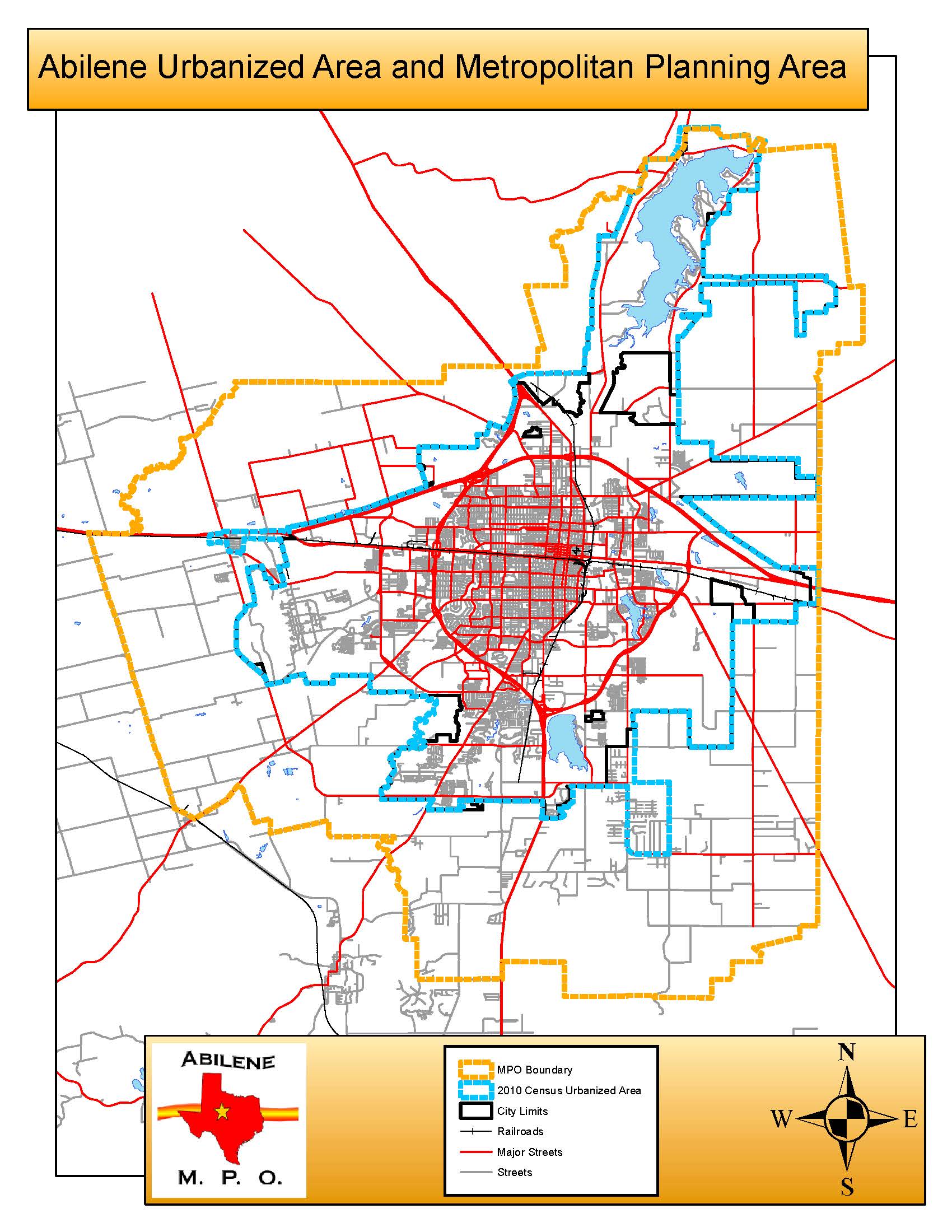
MPO Boundary Map
The study area includes the Cities of Abilene, Impact, and Tye, the communities of Caps, Elmdale, Hamby, and Potosi, some rural areas in Taylor County adjacent to the Abilene city limits plus the entire Lake Fort Phantom area in the southeastern corner of Jones County. The U.S. Census Bureau shows the Abilene area covers 110.6 square miles. The 2010 Census reported the population of Abilene was 117,063 and the current population of the entire MPO area is approximately 125,000.
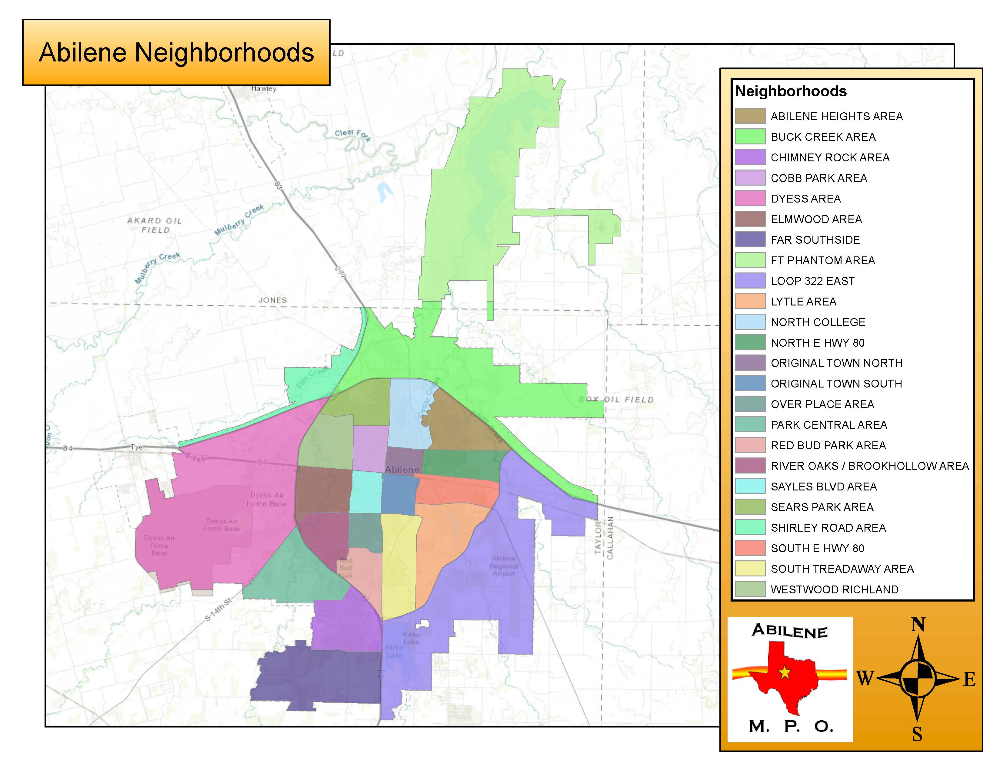
Neighborhood Map
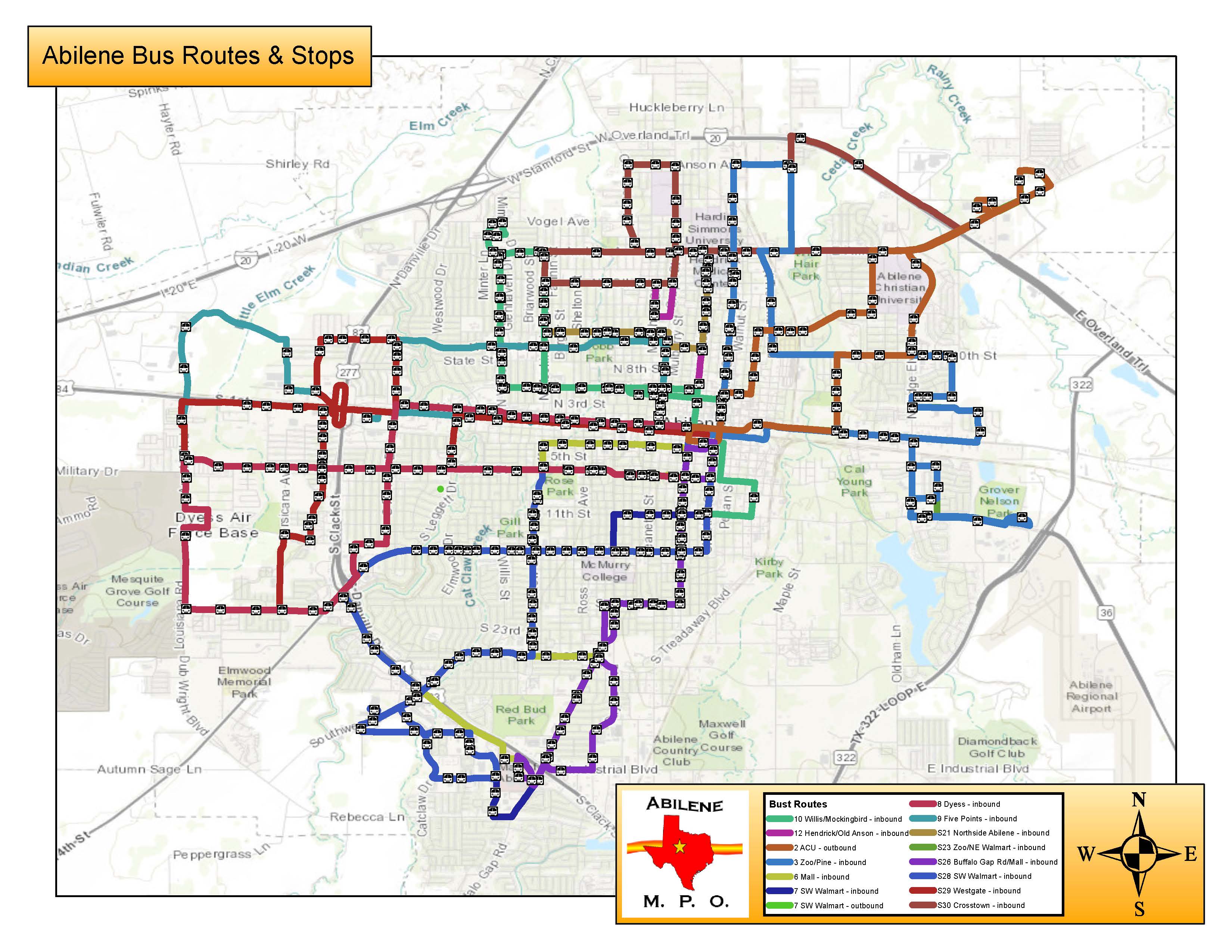
Transit Map
Back to Top